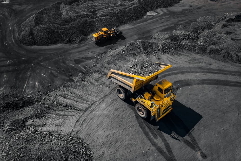
Fundamental mining activities have not changed in many years. However, every company has now instituted some form of Innovation Council or Continuous Improvement team to create and imagine the “art of possible” with technology and processes.
There are two main types of mining innovations currently modernizing the industry:
- Heavy Equipment Advancements are improving the speed and precision of big tasks, saving on the financial end and improving both the quantity and quality of physical production.
- Technology advances such as Artificial Intelligence (AI) and Machine Learning (ML) are becoming more user-friendly and financially feasible.
These advances allow the depth of analysis that wasn’t possible in the past. This has provided an opportunity for time and cost savings in people processes, as in the case below, thanks to computers seeing what humans can’t do and doing it so much faster.
The Case
One such opportunity identified by Jump Analytics was the ability to save the precious time of geologists, removing the mundane but necessary work of logging and mapping lithology of Exploration drill cores. Skilled geologists spend a lot of time managing the act of taking photos of the cores, organizing them, sitting down at a desk, and typing out every single type of lithology that they can identify within the rock. The painstakingly long process of logging the from:to meters with the associated hole ID and lithology attributes, whether on paper or computer, needed an innovative solution that allows the geologists to go back to performing the valuable geological activities that they were trained for. Automating these predictions also helps to remove human bias when analyzing the core while keeping the human factor in control with the QAQC of the data.
The Solution
Jump Analytics has developed a semantic labeller that allows users to take photos of core boxes and accurately classify sections of the core by a range of lithology types. Using custom vision AI, our innovative app determines the percentage of a lithology type using core photos, which are taken, labelled and stored using the CoreVision app (predictions are stored in an Azure SQL DB, with photos stored in an Azure blob location). Using the predictions (real-time predictions created after submitting the core photo and attributes), a visual representation of the lithology types is shown in a user-friendly report applying 3D mapping of core segments, showing all predicted lithology types across all holes drilled in the Exploration program, across depths.
The real added value of this innovative solution begins with the ability to hand off the process of logging the cores to a more junior role. In addition, this allows for proper organization of the core photos and their attributes using a consistent methodology, regardless of who is executing the task.
For more information on mining innovations or details on Jump Analytics innovative solutions, contact our team today.
